
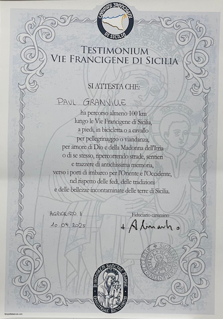
The Magna Via Francigena is the best known of a network of walks that criss-cross Sicily. Having completed four other trails in Italy, I was interested in exploring a little the Mediterranean’s largest island and headed off in early September, 2025.
The Cammino
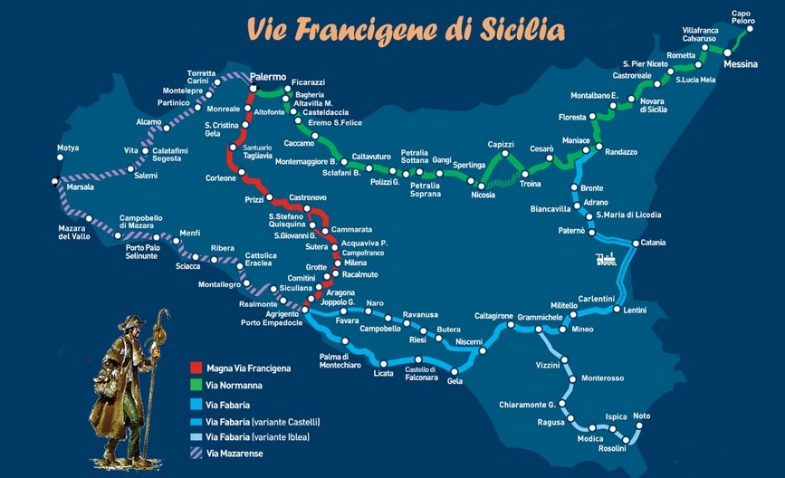
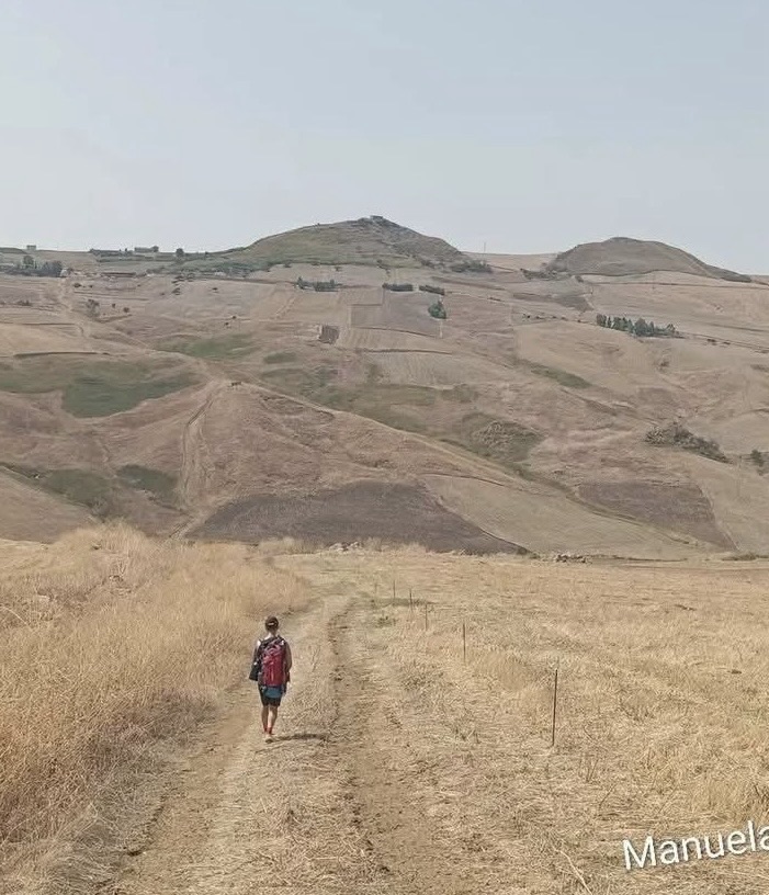
The cammino covers some 187 kilometres divided into 9 stages. There isn’t too much opportunity to alter this, as on most stages there are no intermediate towns. Whilst the average length of each stage is only around 21km, there is a large amount of climbing and descending, averaging over 700m a day.

Typically a day starts with a descent from a hill town, then crossing one or more ranges of hills, and a final climb to the destination town.
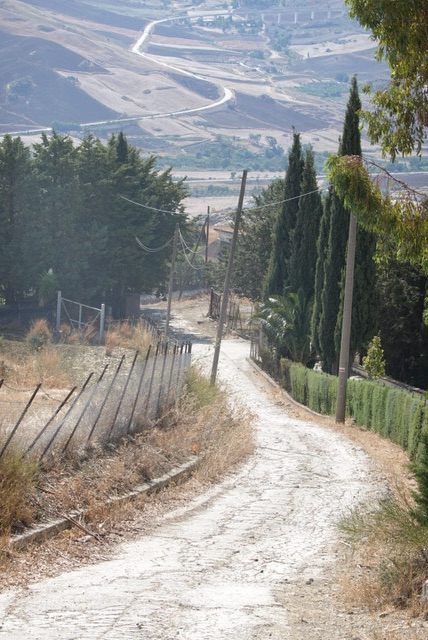
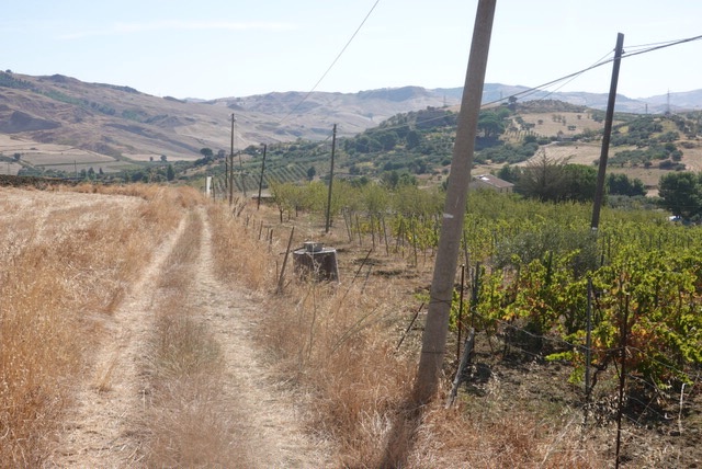
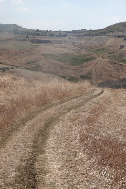
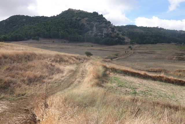
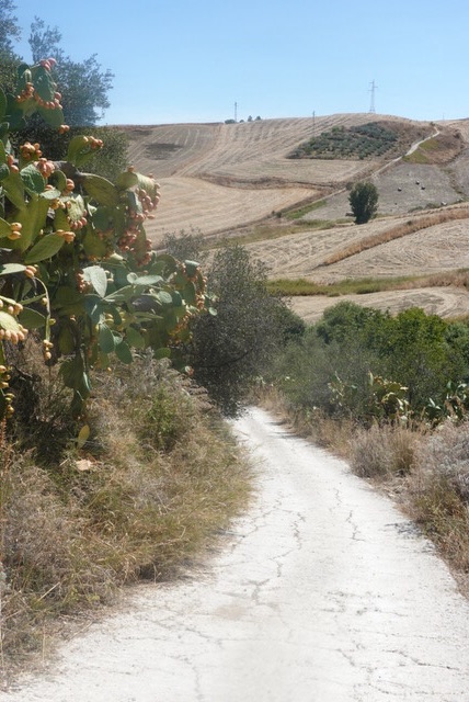
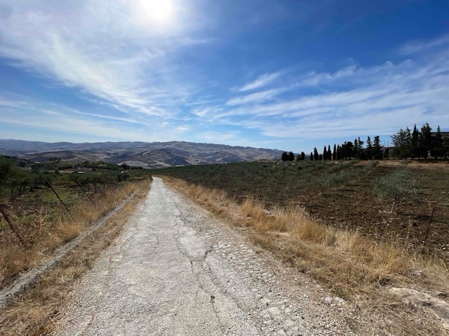
Around 60% of the route is on dirt roads and pathways.


The bitumen sections are mostly along quiet backroads.
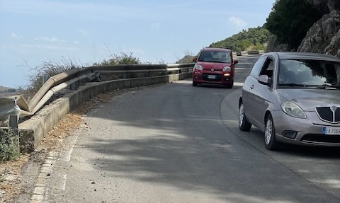
However there are a few stretches on busy roads.
Only a few of the stages towards the end of the route have towns or villages along the way where a pilgrim can find a bar where they can sit down for lunch or a break.

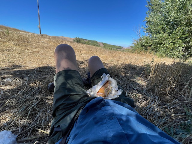
On most days I had my lunch in the shade of a tree.
I walked in early September with temperatures in the low 30s. Coupled with all the climbing, this called for a lot of drinking water. I carried 2 litres, which was barely enough. Fortunately there are a few fountains with drinkable water on some of the stages. This is somewhat ironic, given that in most towns drinking tap water is not recommended.


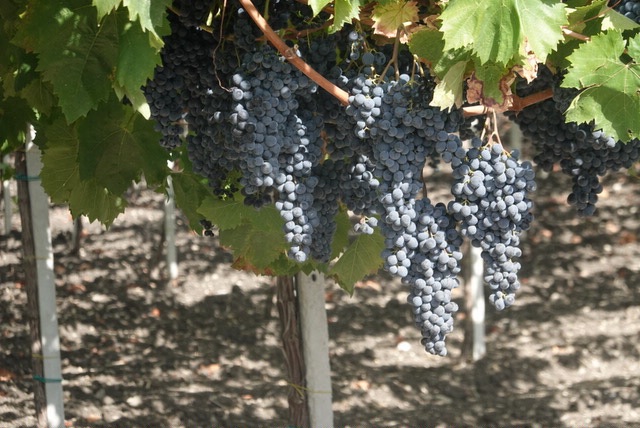
It was almost time for the grape harvest.
Most towns have a selection of comfortable accommodation in B&Bs and the like.

Signposting
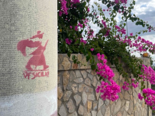
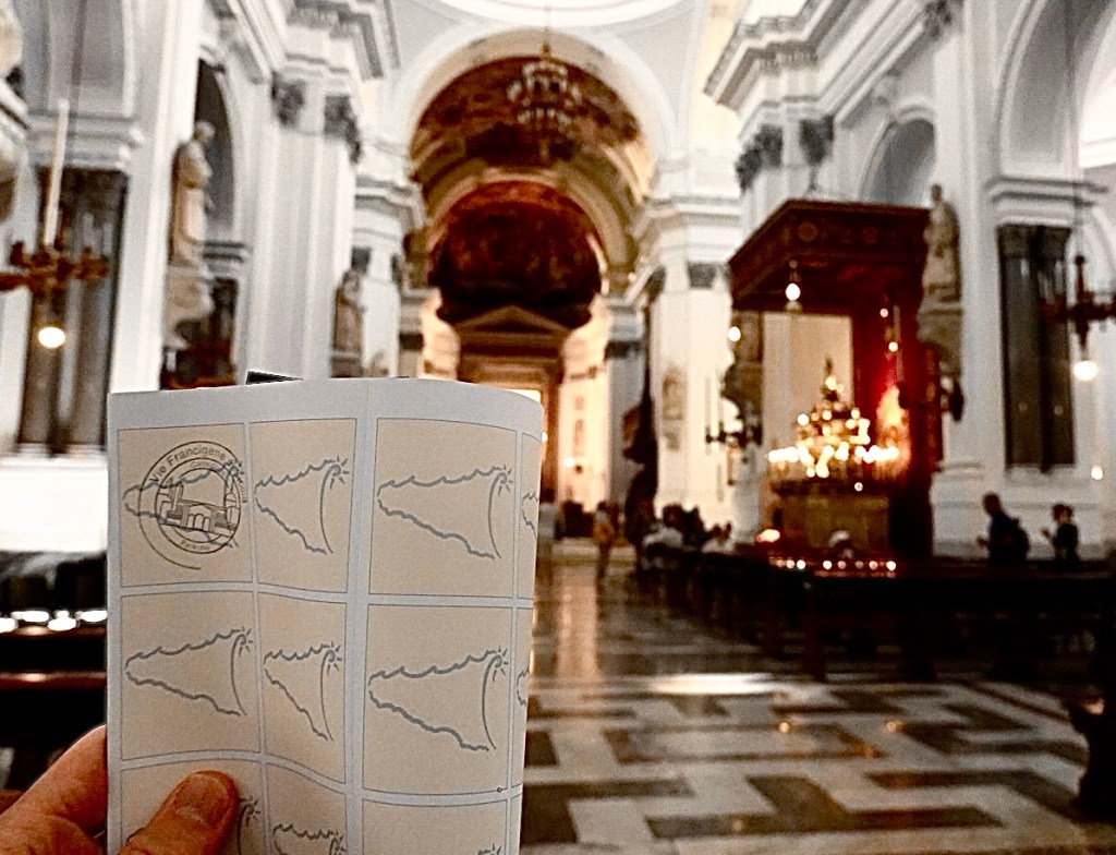
The route is mostly well signposted, with a combination of the red pilgrim symbol of the Sicilian camminos, red and white signposts, and the red and white stripes used on walking trails across the country.


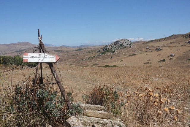
Like all similar trails there are some sections where signposting is not possible. Some also may have been overgrown at the time of my walk. I found using the GPS data indispensable, although in a few places it led me astray up the sides of hills instead of along the intended roadway.
Along the way
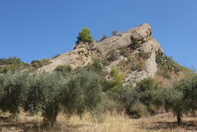
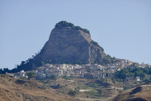
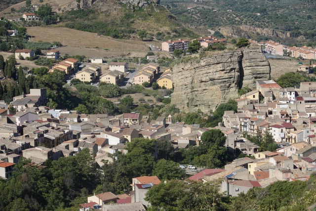
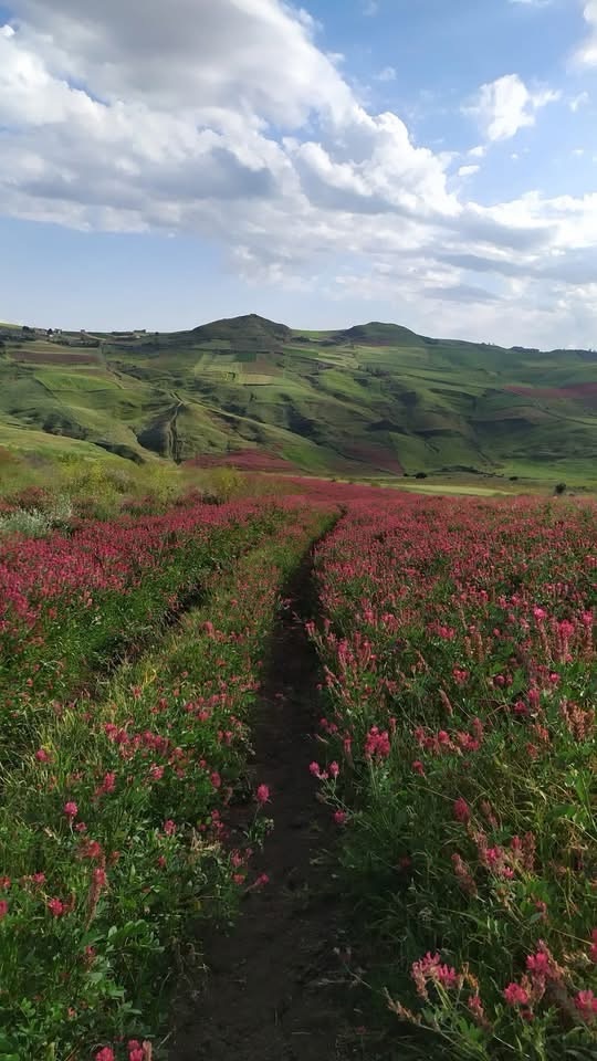
The landscapes you will encounter are often spectacular. Large outcrops of rock are common in this part of Sicily.


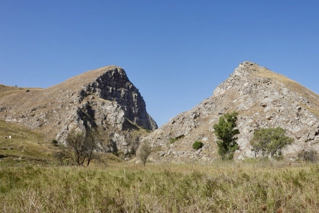


There are numerous places of interest along the way. One I found particularly interesting was a massive outcrop of limestone which was hollowed out in Byzantine times to create a fortress. It was later used by the Arabs and Normans.
It has the curious name of Petra di Calathansuderj, which derives from the Arabic qual-at which means “fortified rock”.


A series of caves near Castronovo were cut out of the rock by the Sicani, the original inhabits of Sicily, in the 6th century. They served as burial places.

The abandoned hamlet of Borgo Reina was built in the early 1940s as part of a scheme of populating agricultural areas. There are ruins of a church, schoool, and homes.

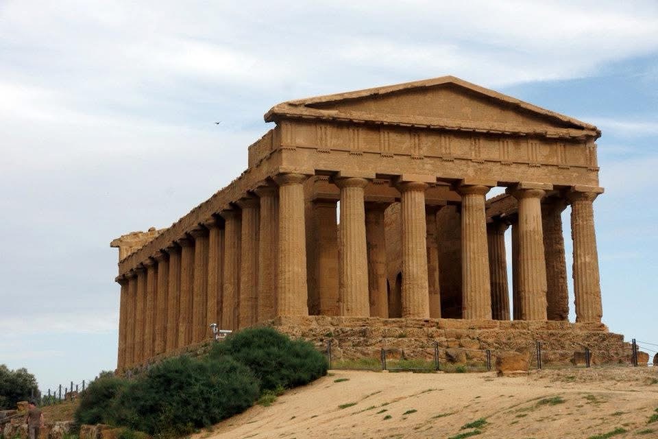
The most well known sights are the cathedral at Monreale on the first day, and the Ancient Greek ruins at the destination town, Agrigento.

Towns
You could easily spend a few days exploring Palermo, the starting point of this walk, if you haven’t visited it before.

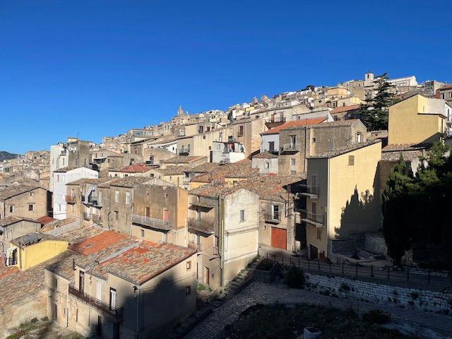
The cammino passes through some very attractive small hill-top towns such as Prizzi, Cammarata and Sutera which are pleasant places to spend the night.


You can see the effects of depopulation of small towns with numerous abandoned houses.


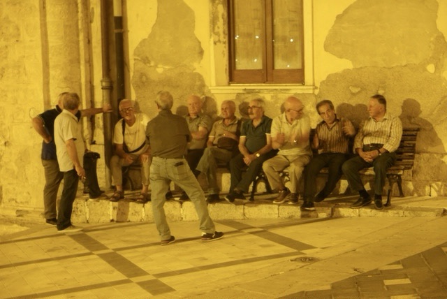
In every town you’ll find groups of men who gather in the evening to talk and play cards.
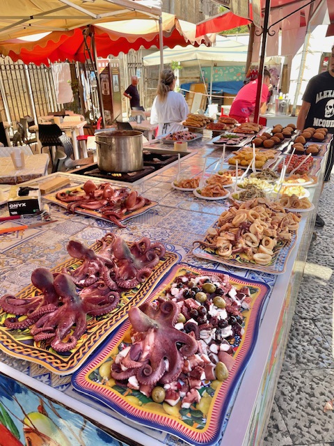
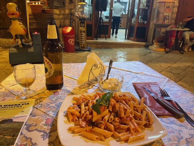
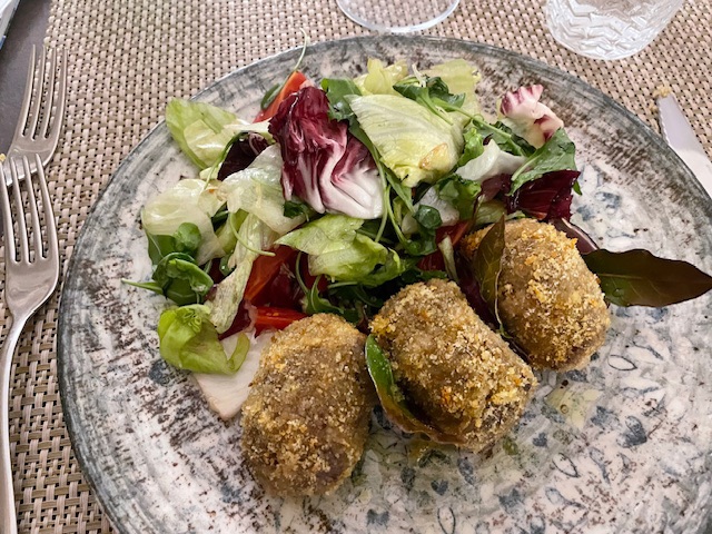
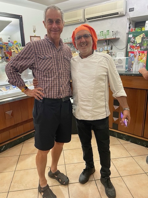
As is usual in Italy, you can always find a good meal.

People
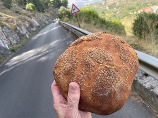
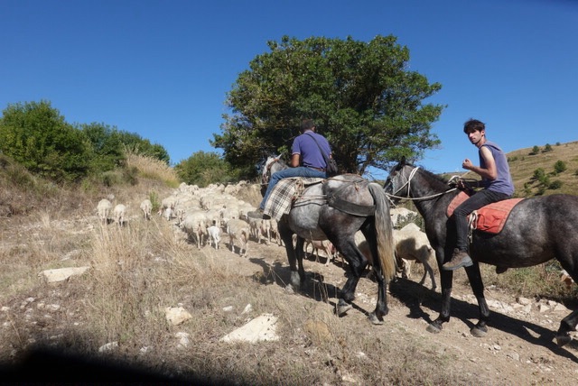
The Sicilian people are very friendly and I had lots of conversations. Sometimes a car would stop and the driver would ask were I was from, where I was heading to, and wish me good luck.
On one of these occasions, the driver gave me a freshly baked loaf of bread, hot from the oven, from a sack of them he was taking somewhere.


In Summary
The Terre di Mezzo guidebooks classify stages as easy, moderate, demanding and very demanding. Usually there are a mix with some easy stages, however this walk has 5 demanding and 4 medium stages.
Perhaps I’m starting to get a bit old – 10 years have passed since I retired and started doing these long walks. Also my fitness wasn’t at its normal level as back problems through the year had reduced my ability to exercise. I found it quite challenging.

I was constrained by circumstances to walk in early September and I would recommend a cooler time of the year. As well as making things easier, you’re also more likely to encounter other walkers along the way. In spring you can also enjoy the wildflowers.
The countryside was so dry that there had been frequent fires, which I was told by firemen are usually intentionally lit.

You may see some Facebook discussions about dangerous stray dogs. In fact, the route was closed for a period four years ago after a number of walkers were bitten. This resulted in the tightening by local town councils of the enforcement of dog regulations, and I had no problems at all in this regard.

Despite the challenging nature of this cammino, it was an unforgettable experience and I’m very glad that I completed it and got to know a little of Sicily and the Sicilians.
An English language guide book is available. You can find information such as accommodation and GPS data at this site.

oh wow, Paul, you never cease to amaze me with your adventures. It looks like it was a tough, hot and dry walk. I would have been tempted to remain permanently at a bar somewhere and forget to keep walking! Hats off to you!
LikeLiked by 1 person
Thanks Nina. I have to admit that the thought of throwing in the towel did pass through my mind a few times but a good sleep makes all the difference.
LikeLike
Great summary Paul. I also like the comparison between times if year. I might pop it back on my bucket list for an early May adventure although maybe not… perhaps it’s a little too challenging.
LikeLiked by 1 person
Hi Kay Thanks I got a bit worried just before I started when an experienced American walker told me she had abandoned the walk after a few days . She had got in touch with me to ask questions about the Via Romea Germánica. .
LikeLike